Free PowerPoint templates, PowerPoint Icons, PowerPoint Diagrams, PowerPoint Single Slides, PowerPoint Graphics, Bundles.
Sign Up
Sign In
PowerPoint products:
Our Customers:
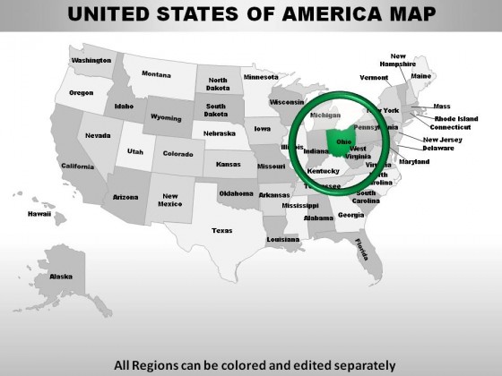
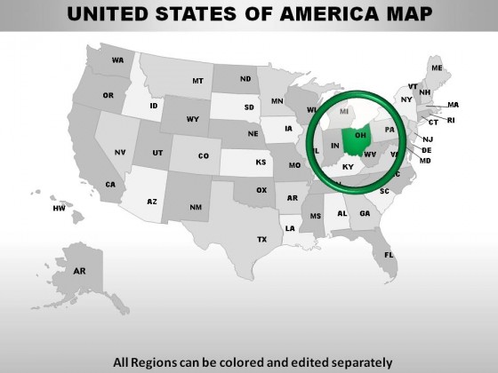
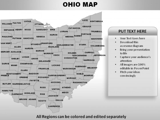
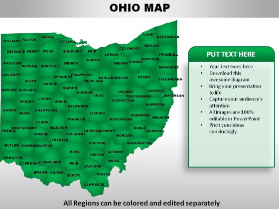
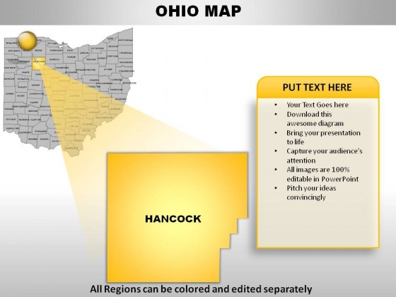
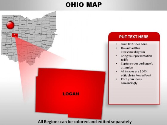
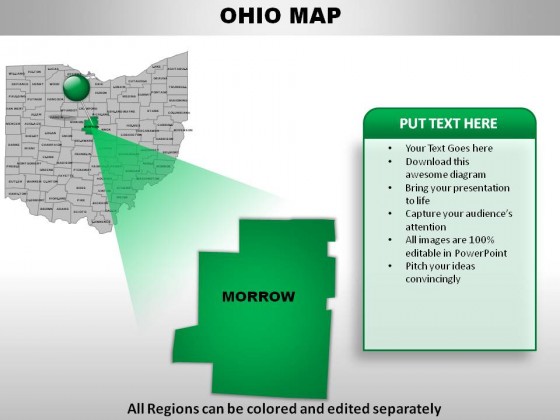
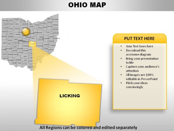
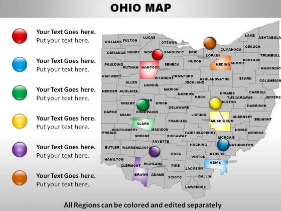
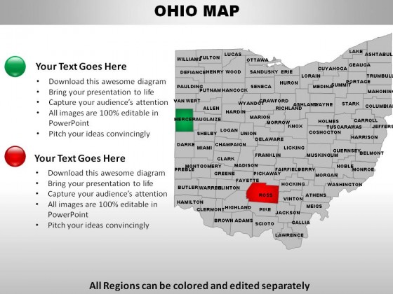
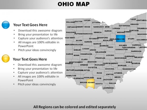
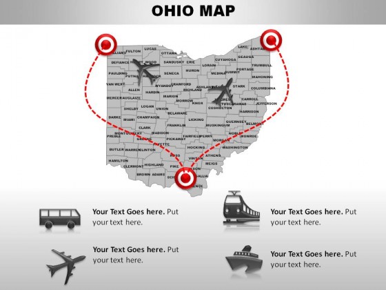
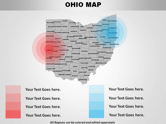
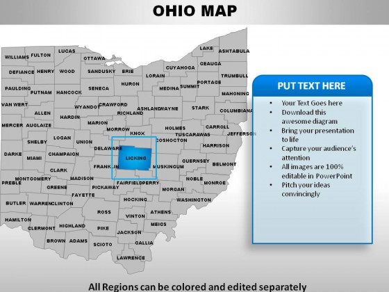
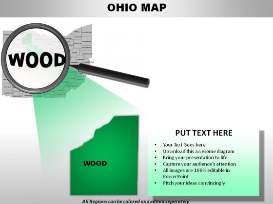
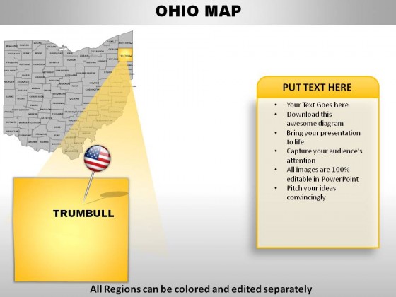
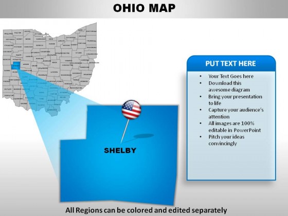
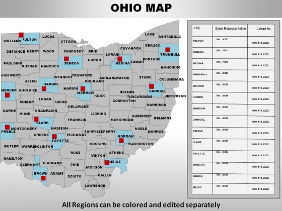
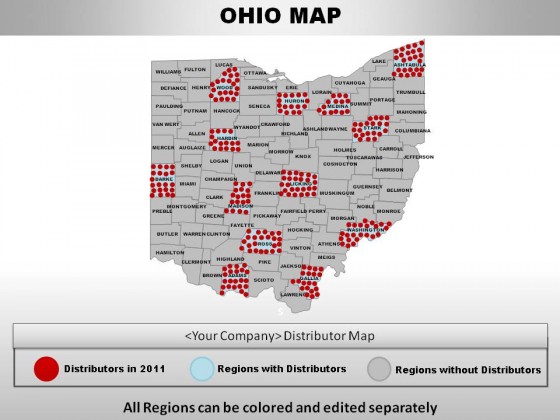
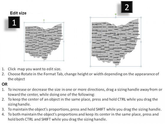
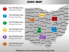
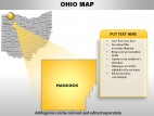
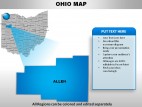
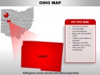
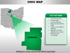
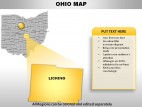
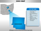
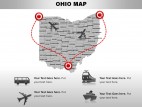
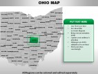
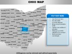
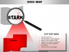
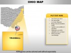
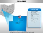
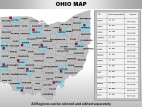
USA Ohio State Powerpoint Maps


Description:
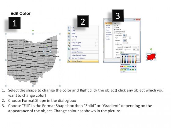
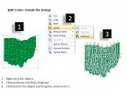
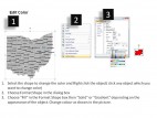
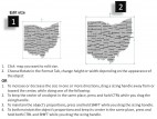
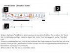
These high quality, editable powerpoint state maps have been carefully created by our professional team to display location and other geographic details in your PowerPoint presentation. Each map is vector based and is 100% editable in powerpoint. Each and every property of any region - color, size, shading etc can be modified to help you build an effective powerpoint presentation. Use these maps to show sales territories, business and new office locations, travel planning etc in your presentations. Any text can be entered at any point in the powerpoint map slide. Simply DOWNLOAD, TYPE and PRESENT!Keywords of this :
hio
ohio states powerpoint maps
powerpoint maps for ohio
us states ohio powerpoint maps
american states ppt maps
county capitals powerpoint maps ohio
ppt maps by american states
american states maps
ppt maps
powerpoint maps
download powerpoint maps for ohio
download county capitals powerpoint maps ohio
download ppt maps
download us states ohio powerpoint maps
download ppt maps by american states
download powerpoint maps
county capitals powerpoint maps
ppt us states by county capital